Rampart Lakes, Day 3
Monday, June 27, 1983
Day Three, 12:20 PM
Rampart Lakes
A few observations about my contour maps – they give only a brief idea of what is where. They’re fine for following trails, but are basically useless when it comes to figuring out the best cross-country route from point A to point B.
That’s because the contours (the little squiggly lines denoting elevation) are in 80-foot increments. Ha… What a joke! You plan a nice little day hike that looks feasible according to the map, then what happens? You end up suddenly faced with a drop of forty-feet or even just twenty-feet. It's not indicated on the map but it most certainly is there in front of you.
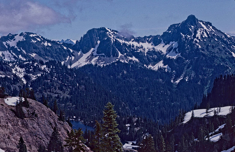
Rachel Lake down below, HiBox Mtn. in background.
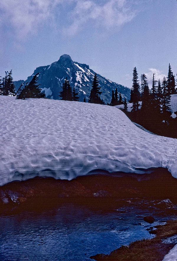
So basically the dogs and I ended up doing a lot of back-tracking on today’s little day hike as we explored the area. The good thing was that the weather was pretty nice and we had great visibility as we climbed the approximately 600 feet up to the “pass” leading to Lake Lila.
We wound up on a small spur ridge about twenty feet above what may or may not have been the proper snow gully leading over the ridge. There was no way, short of falling or jumping, to descend that twenty feet, so I contented myself with taking photos. For the first time, I used the Pentax 6x7. There wasn't anything too spectacular to shoot, just mostly ‘this is where we were” photos.
Hi Box Mtn from Rampart Lakes
Trip Navigation Menu
- Into Rachel Lake & Above
- Day 3: Rampart Ridge
- Day 4: Rampart Ridge
- High Country Philosophy
- Scouting Out Rachel Lake
- Rachel Lake Storm
- All's Well That Ends Well
Hike Galleries
Trip Map