Entiat Meadows Pass
OK, maybe it's just me. But that was looking like a pretty gnarly route down.
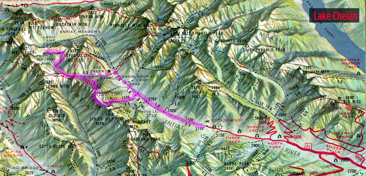
Well, geez … once I got to the top and looked down, holy shit! I decided right then and there that I was going back the way I came in. At least I knew where the route was. This looked pretty nasty, particularly for a solo hiker. It was bloody steep and there was this immense, treacherous looking snowfield about half way down. Once you managed to get past that, I could see there were several potential route-finding problems.
I’m not totally stupid. It’s a lot tougher to find a route down than it is to negotiate the same route upwards. Going down, you can't see that you’re in trouble until (sometimes) it’s too late. The Ice Creek route was steep, but at least it was marked occasionally with rock cairns and tread. And I'd already been over it once.
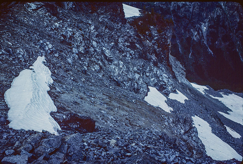
By way of comparison, the last bit of the route up Ice Creek. The little yellow dot (left-center) is the neighbors' tent and the location of the outlet stream.
Still, I hated admitting that the snotty little boys had been right. I immediately formed a negative opinon of their whole party upon hearing one of them refer to me as a ‘colorful bitch’ as I approached them to compare route notes. The comment was regarding my spiffy plum-colored gortex pants and matching pile jacket. Smarmy little bastards.
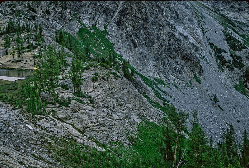
Looking back at Lower Ice Lake. You can barely see some of the boyz heading down on the rocks between the two snowfields.
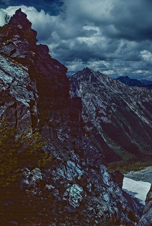
Up on the cliffs above Lower Ice Lake
Trip Navigation Menu
- Into Larch Lakes
- Nightnmare at Larch Lakes
- Ice Creek Camp
- Lower Ice Lake
- Entiat Meadows Pass
- Upper Ice Lake
Hike Galleries
Hike Map