Lower Ice Lake Day Hike
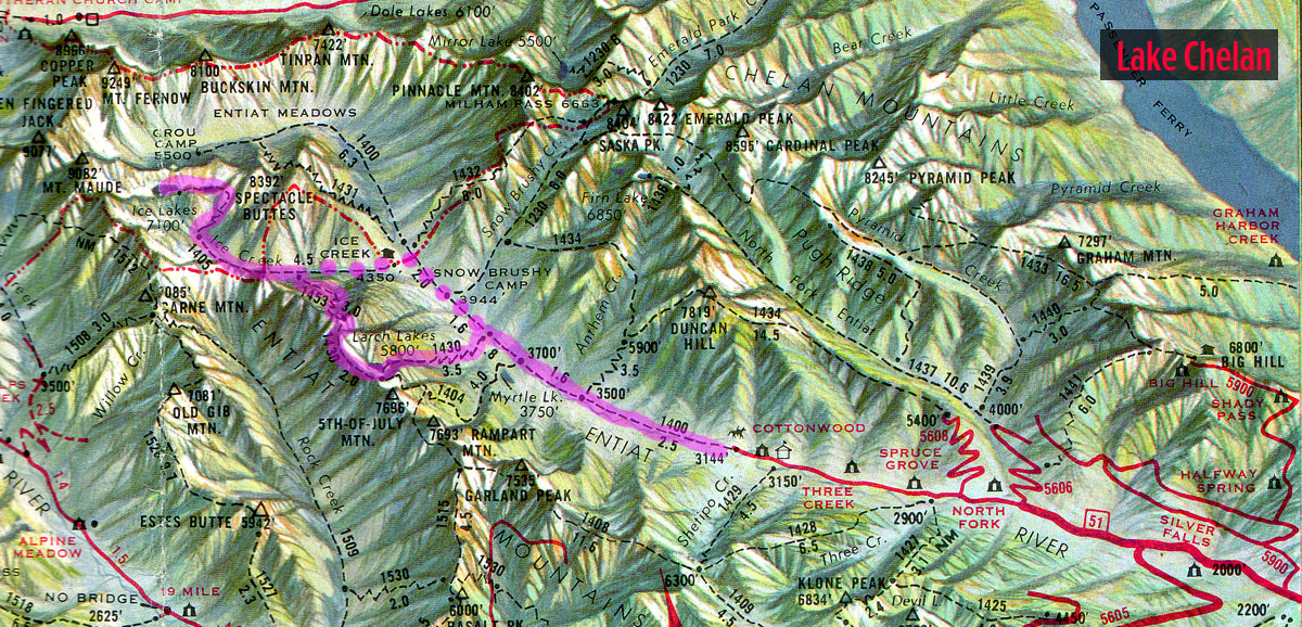
Glacier near route down to Entiat Meadows.
After the boys left, I spent some time up on the pass snapping photos. There was a nice view back to the lower lake and a glimpse of the upper lake, as well. Mostly, I could see how barren and desolate this high basin, which precariously hangs on the shoulder of Mt. Maude really is. You also get a first hand view into how powerful the glacial forces were that shaped this area.
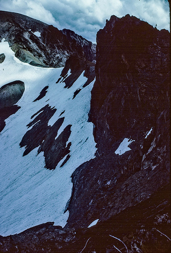
Micki approves of my decision not to go down the Entiat Meadows route.
Once we got back to camp, I retreated into the tent until it was time to make dinner. When the wind picked up, it was freakin’ cold! There are some really ominous clouds coming in from the east; if they drop any moisture, it is definitely going to be in the form of snow.
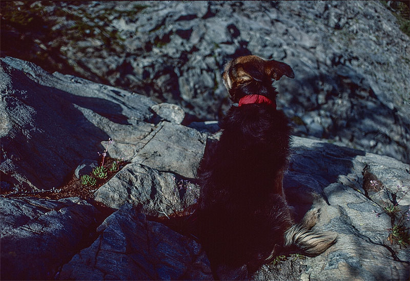
You can barely make it out, but my camp is that blue blur immediately to the left of the skimpy row of trees kind of in the middle of the photo.
You know, I’ve only done about 16-miles of trail hiking (not counting the little rambles out from camps) on this hike so far, but it has been an absolute killer! I figure little Micki and I have gained a minimum of 6,300’ while losing over 2,400’.
Once we get back to the Ice Creek trail, we’ll head on down to the Entiat River trail, which will be like a walk on the beach compared to what we’ve done so far.
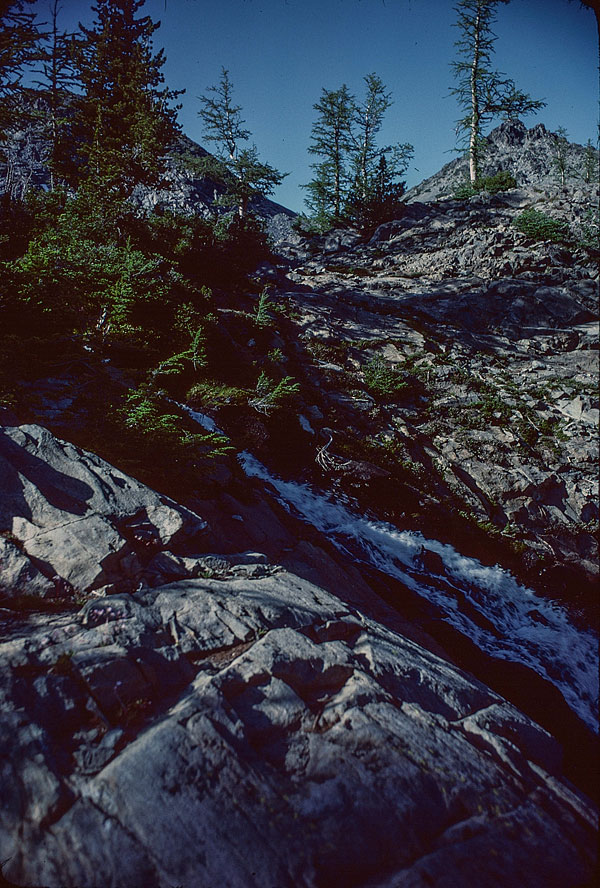
Yep, it's the Lower Ice Lake outlet stream tumbling down the cliff.
Trip Navigation Menu
- Into Larch Lakes
- Nightnmare at Larch Lakes
- Ice Creek Camp
- Lower Ice Lake
- Entiat Meadows Pass
- Upper Ice Lake
Hike Galleries
Hike Map