1980: The Boundary Trail, page 2
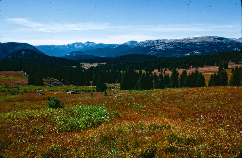
The wide-open meadows of Horseshoe Basin
The objective of this hike is to follow a sometimes rough, and always remote, trail that runs just below the Canadian border. This is horse country, wide-open with lots of distance between points of interest. There are not the drastic 'ups and downs' that I'm used to from the other hikes I've done, so I was thinking this was going to be a piece of cake. (Picture, if you will, Micki rolling her cute doggies eyes at me in condescending disbelief.)
So, here's the 'I-Really-Loved-This-Hike' overview: It starts off in a beautiful, pastoral landscape. The books call it a ‘high tundra,’ but I see colorful fall meadows surrounded by rolling hills that are dotted with innumerable small ponds. A person could easily spend days roaming cross-country and seeing what’s over the next hill.
Here's the "How-It-Really-Was' overview: Cathedral Lake was incredibly beautiful but I will never, NEVER do Bunker Hill again!
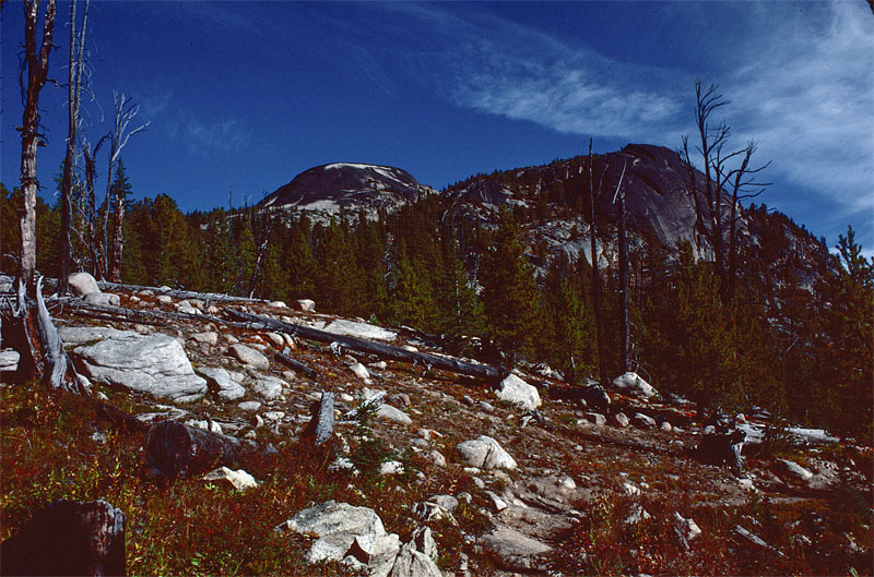
Teapot Dome
So, with that out of the way, let's get back to the hike...
Micki and I are now at our designated campsite for the night, just about 1/2 mile east of Teapot Dome. This little mountain is definitely a standout landmark in this area.
I don’t know exactly what the elevation is here, but it’s probably above 7,000’. And now that the sun has started to drop below the horizon, it is really starting to cool down. It got pretty cold last night – in the high 20’s. There was ice on my bag this morning. That's what you get for sleeping out in the open, I guess. Tonight Micki and I will sleep in the tent for sure.
– Continue reading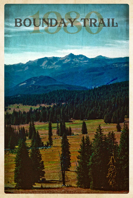
1980, The Boundary Trail
Hike Itinerary
- Horseshoe Basin
- Teapot Dome
- Cathedral Lake
- Ashnola River
- Hidden Lakes Shelter
- Harts Pass
- Methow River
- Out