Carne Mtn. - High Pass Photo Gallery
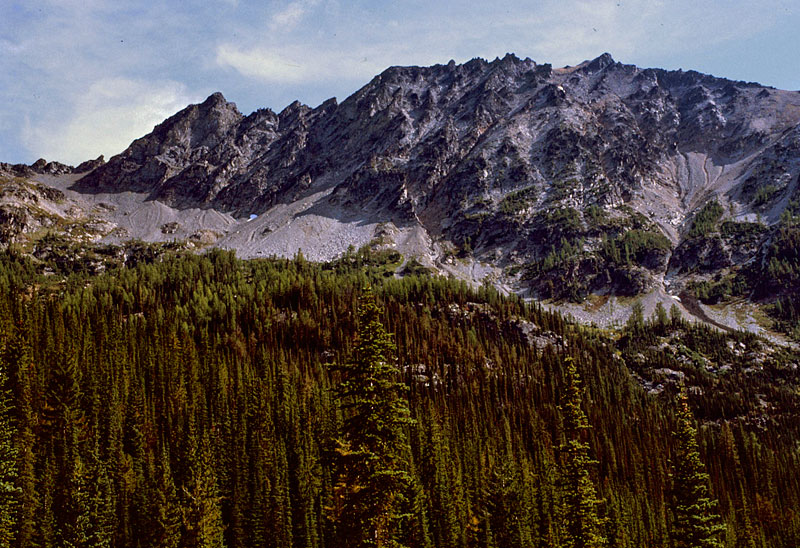
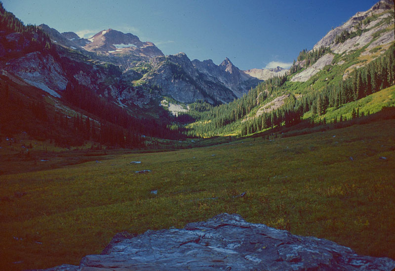

- 012_highroute
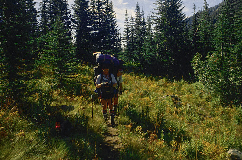
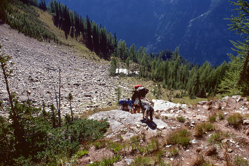
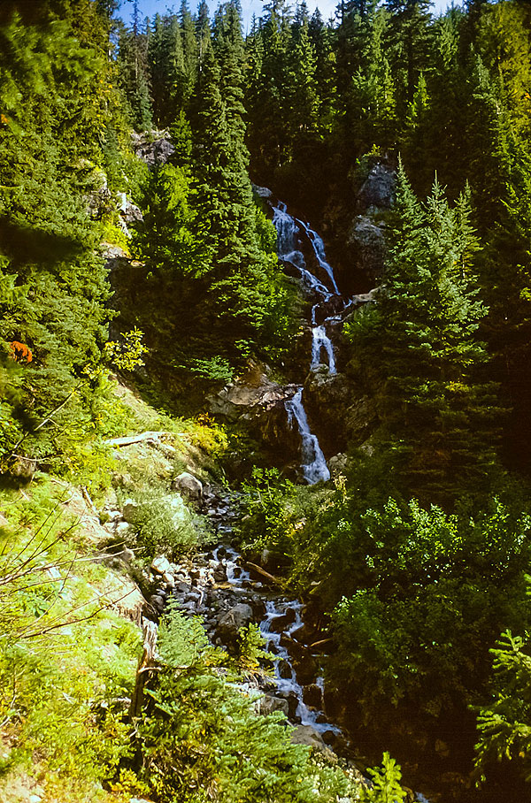
Heading up the Rock Creek trail
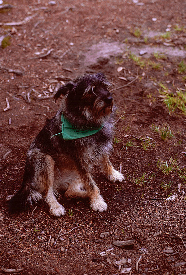
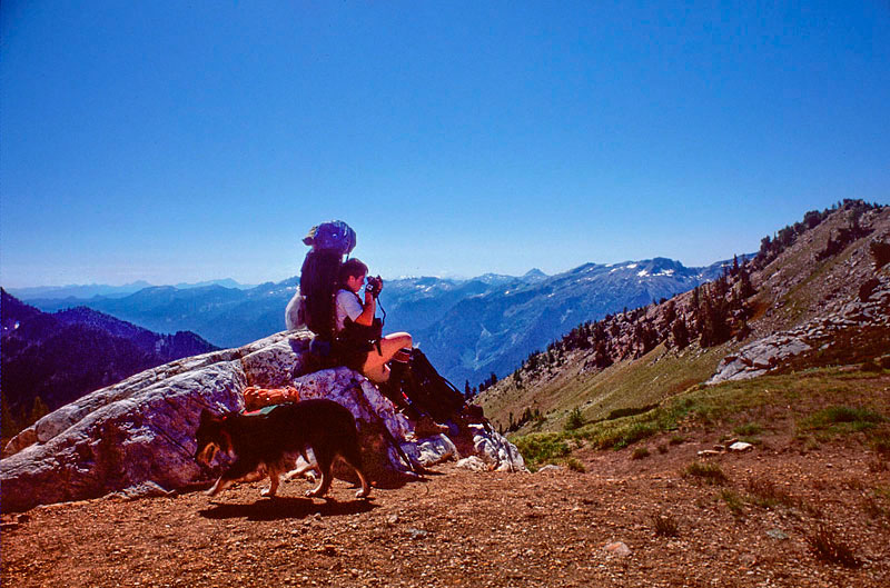
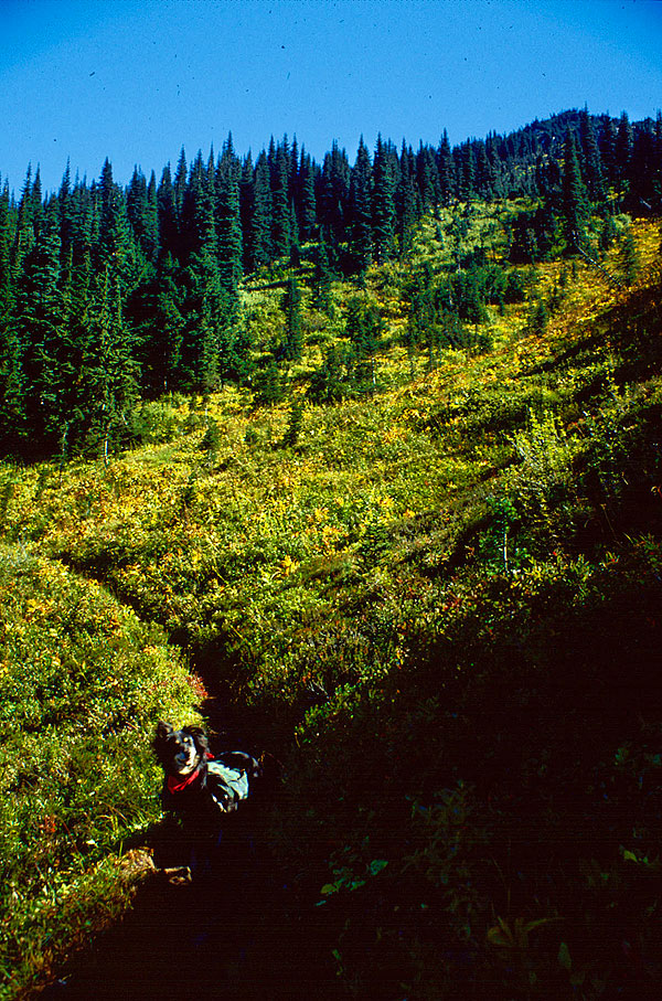
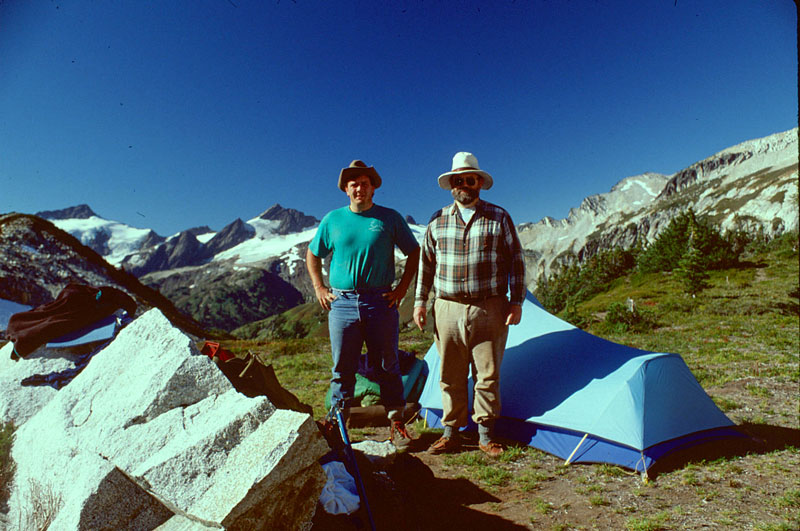
- Schmoo
Schmoo
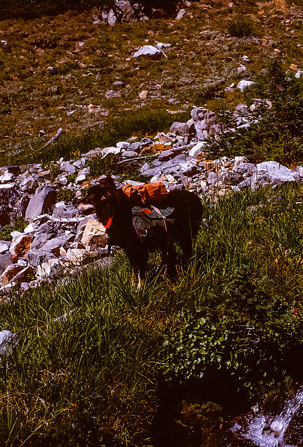
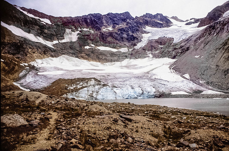
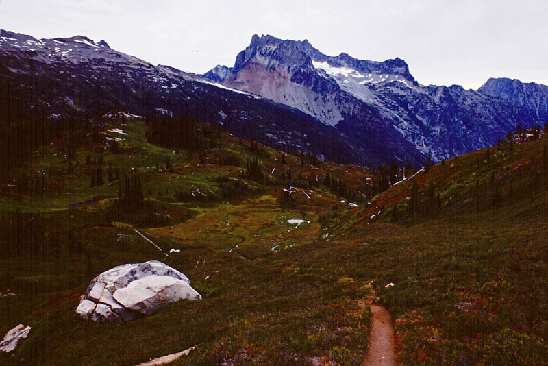
- 015_mica-1
Mica. All dressed up and someplace to go!
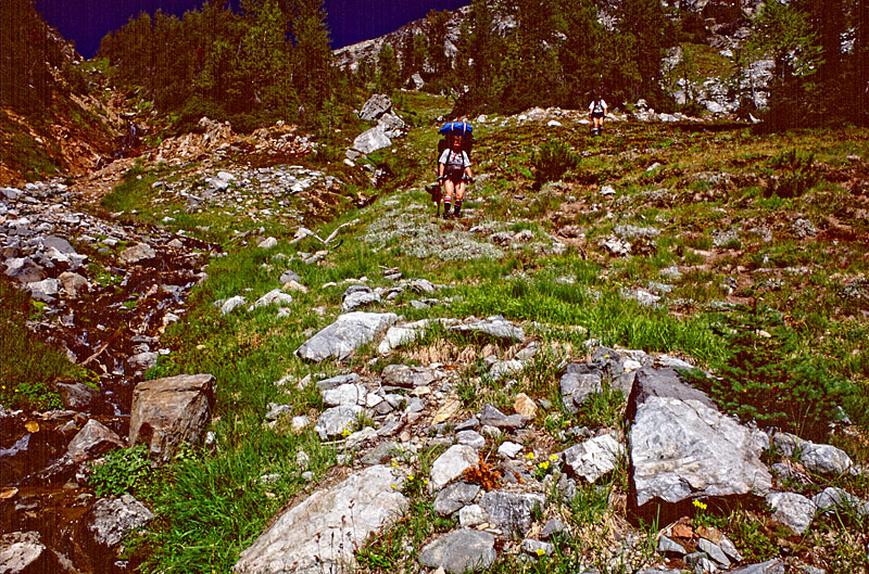
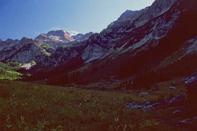
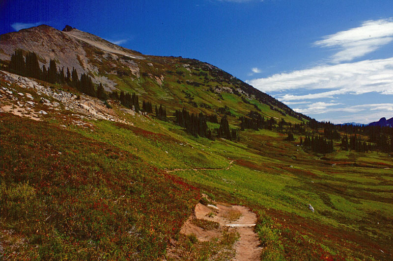
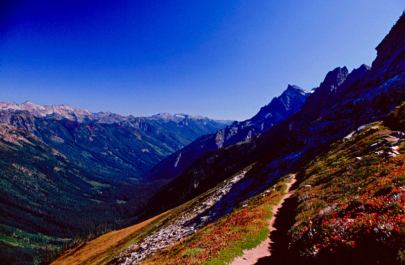
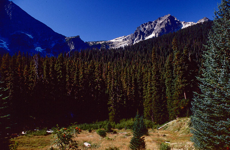
- 015_mica-1
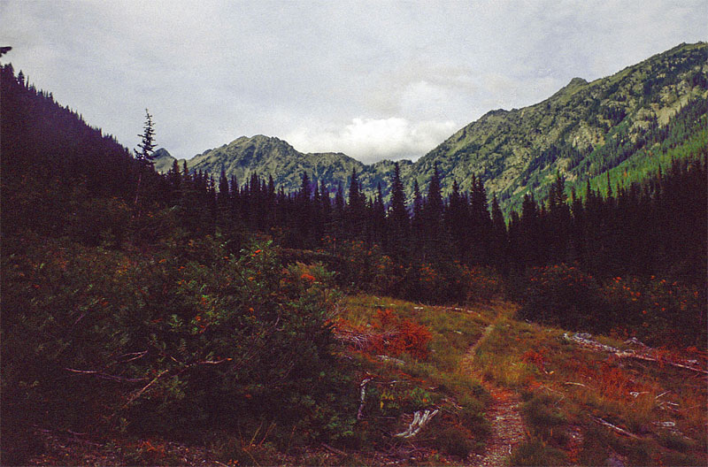
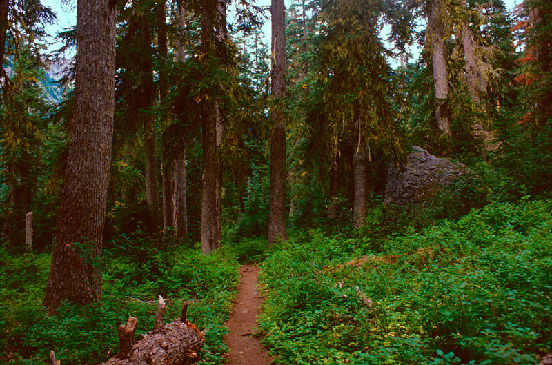
The Rock Creek Trail, upper section.
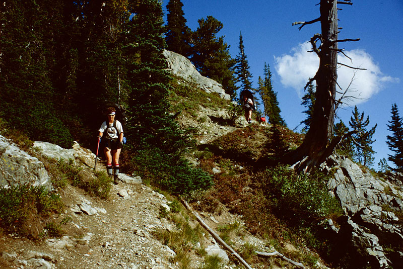
- 030_CG-on-rock-crk-tr
C&G on the Rock Creek Trail
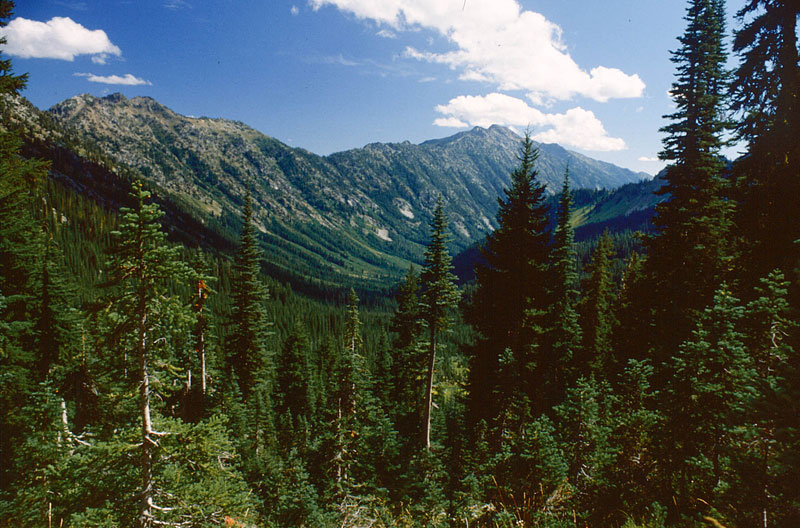
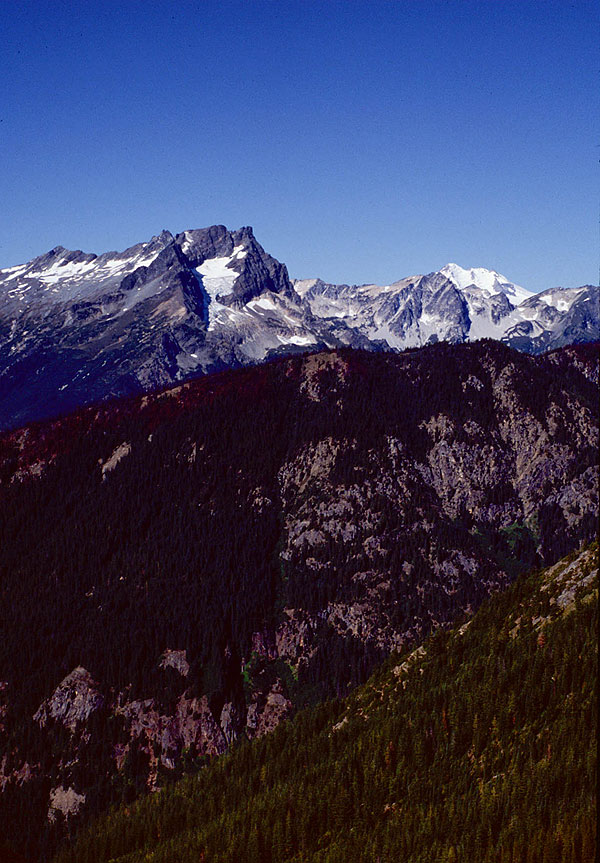
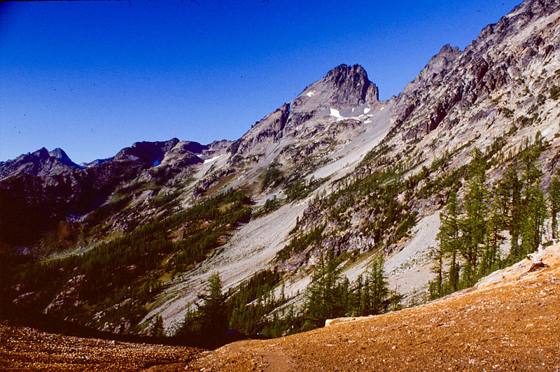
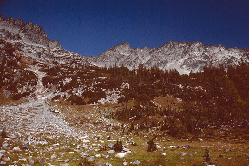
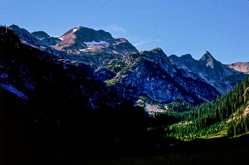
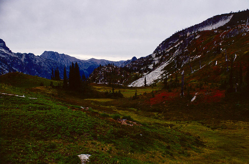
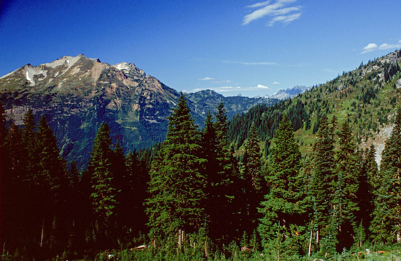
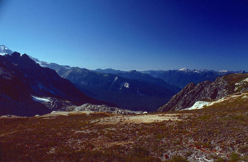
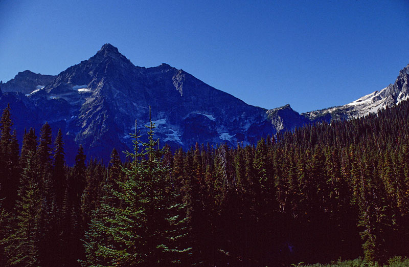
- 031_carne-mtn-in-distance-1
Carne Mountain in the distance
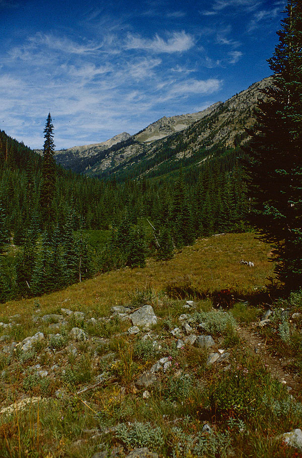
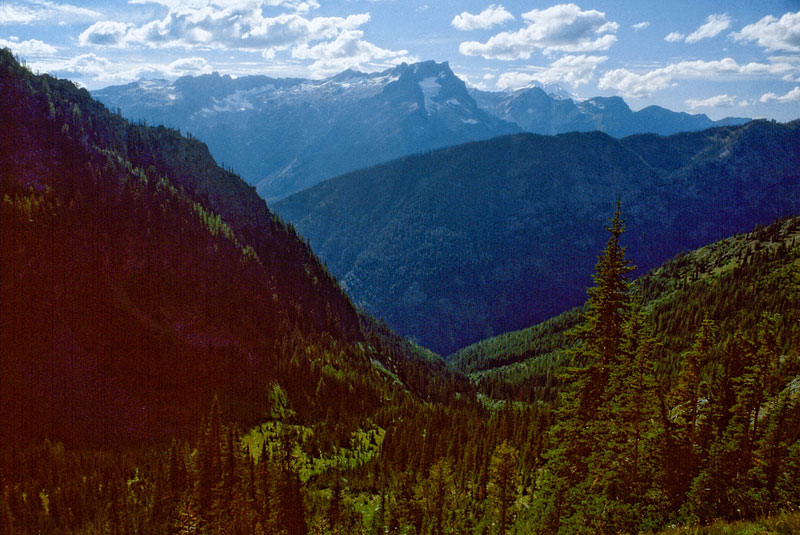
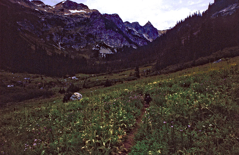
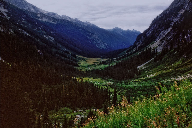
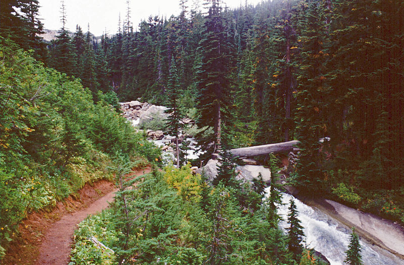
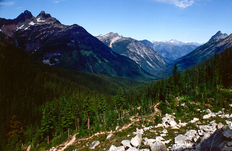
- 039_looking-back-down-rock-creek-1
Looking back down at Rock Creek
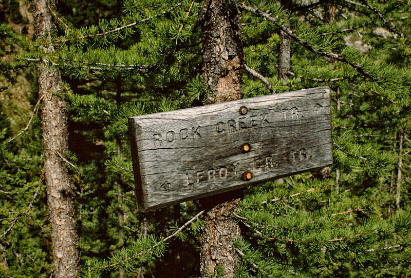
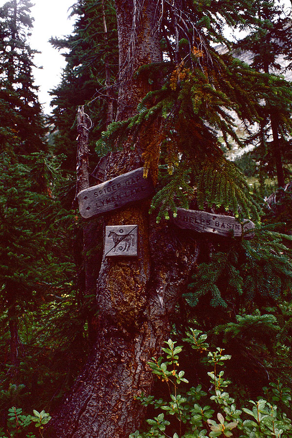
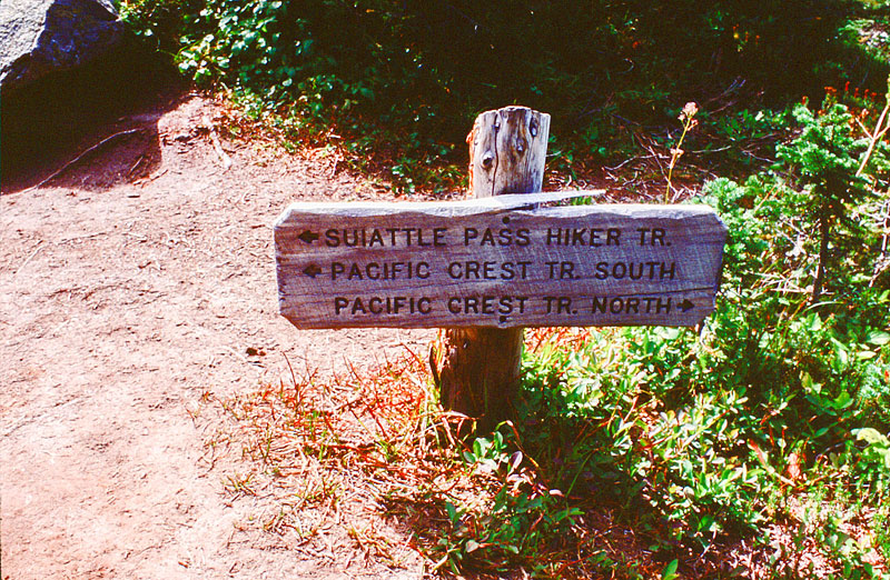
- 044_trail-sign
../../images/hikes/high-pass/039_looking-back-down-rock-creek-1.jpg
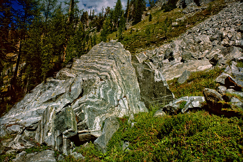
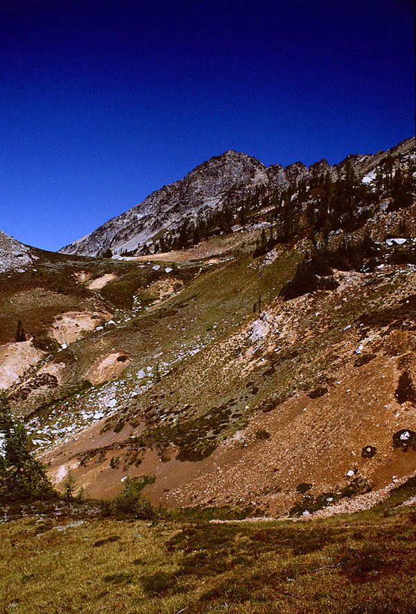
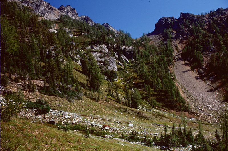
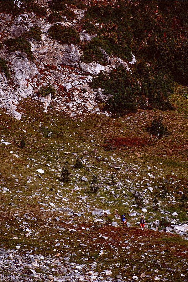
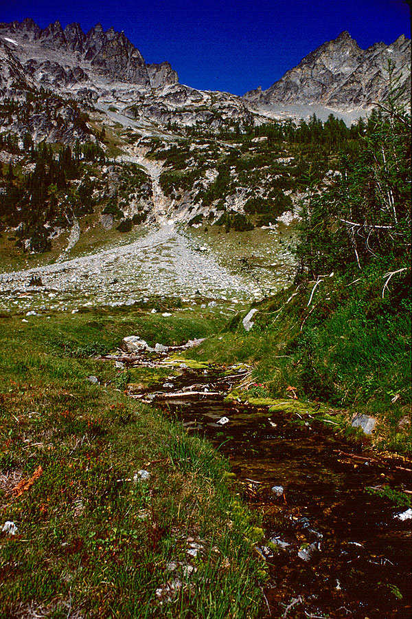
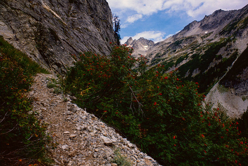
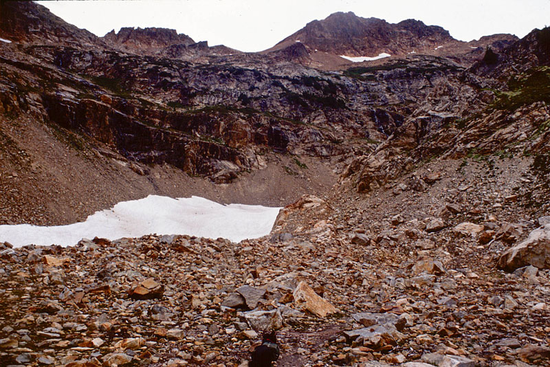
- 050_rocks-near-box-crk-basin
Shows the geological action that created this section of the Cascades.
- 053_west-down-box-creek-copy-1
West down Box Creek
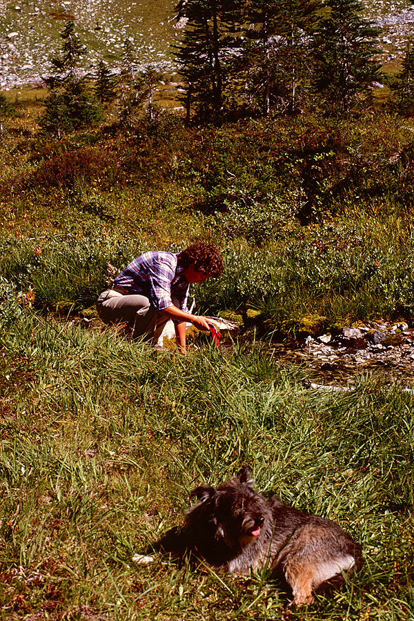
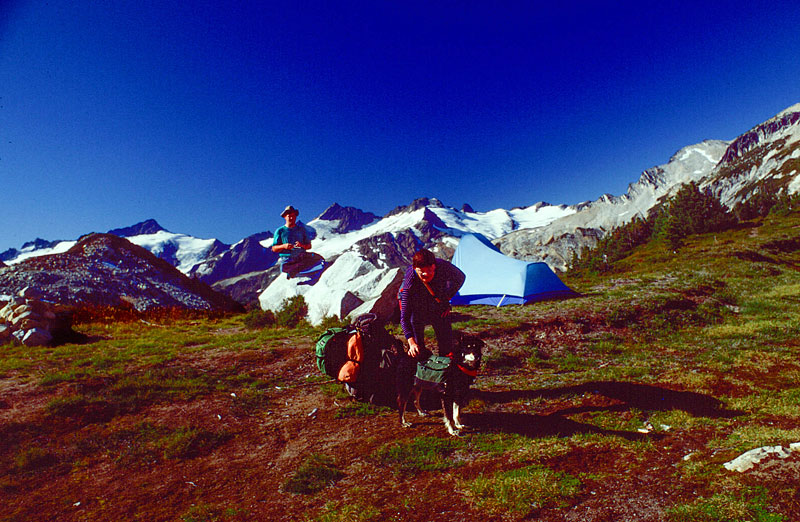
- 056_CG-schmoo-1
C&G and Schmoo
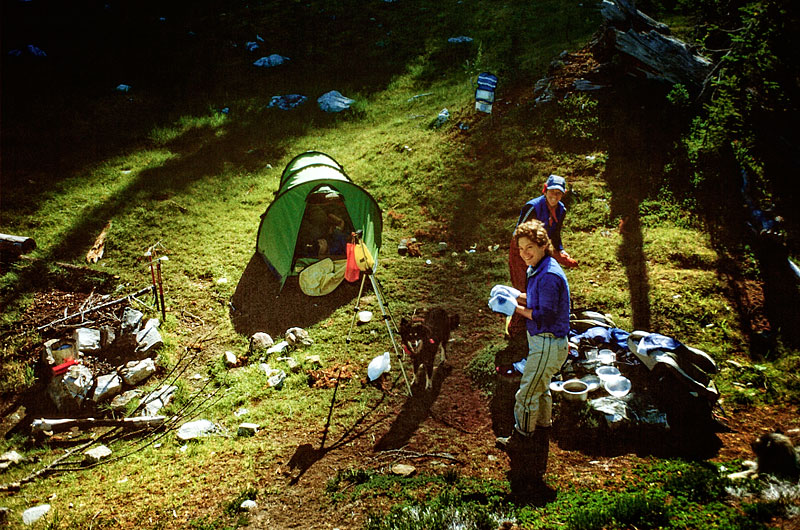
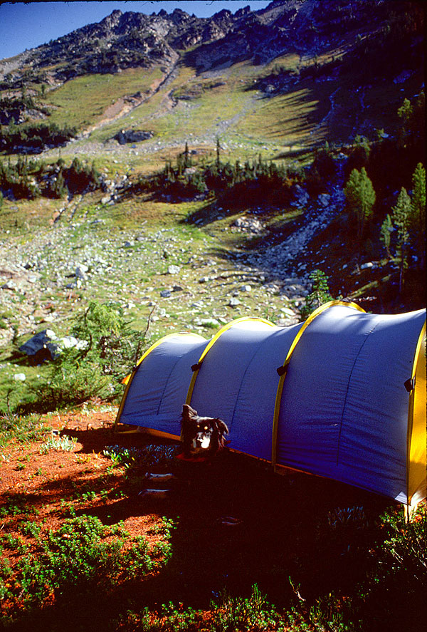
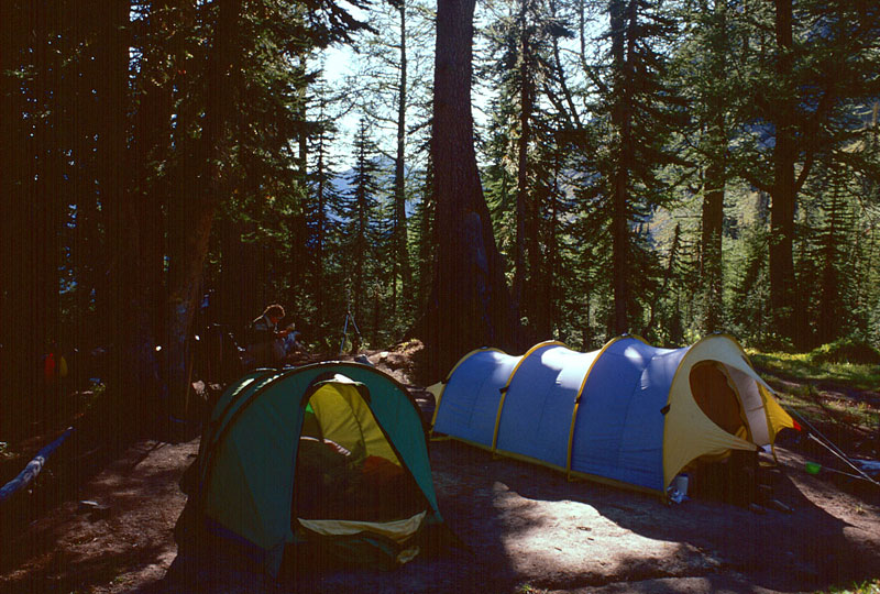
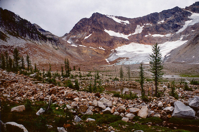
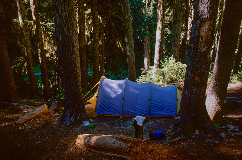
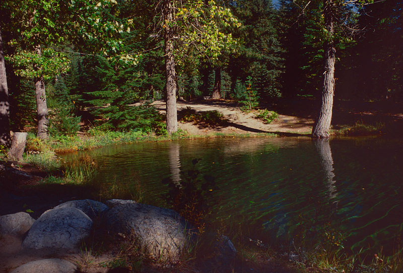
- 059_box-creek-camp
Box Creek Camp
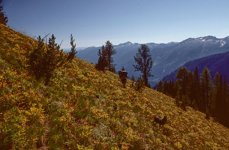
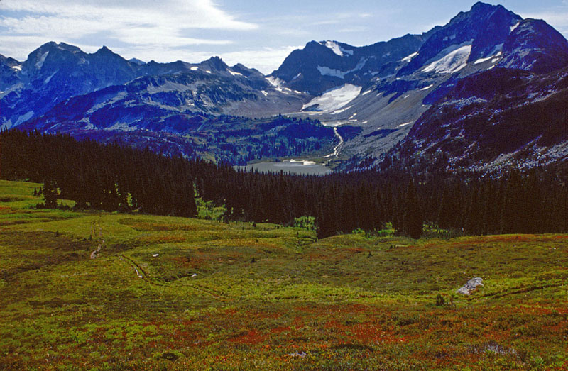
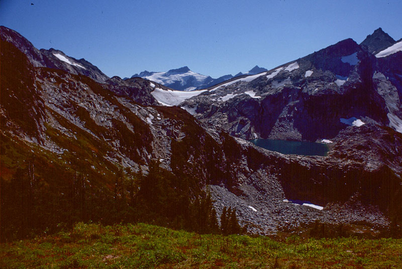
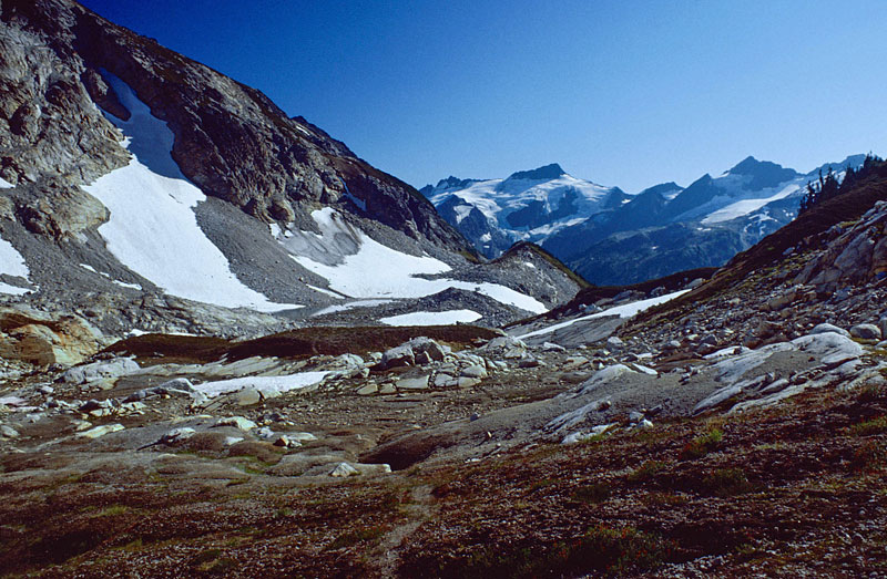
- 062_west-from-box-creek-camp-1
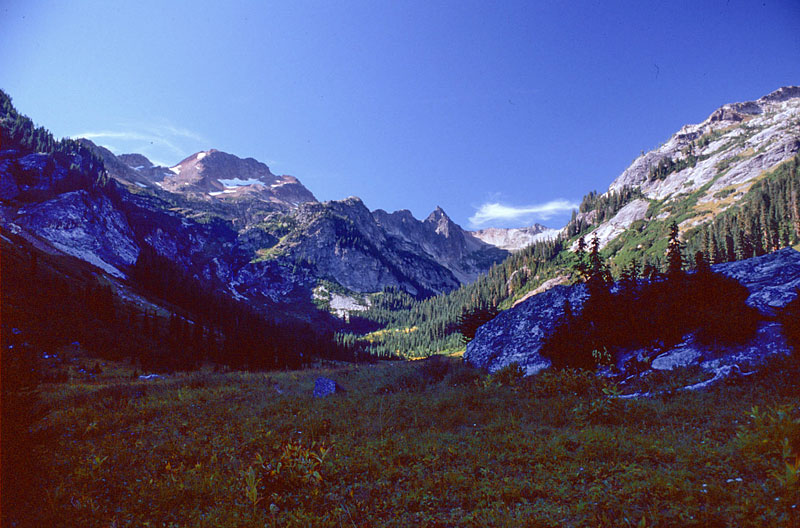
Looking west at the High Route
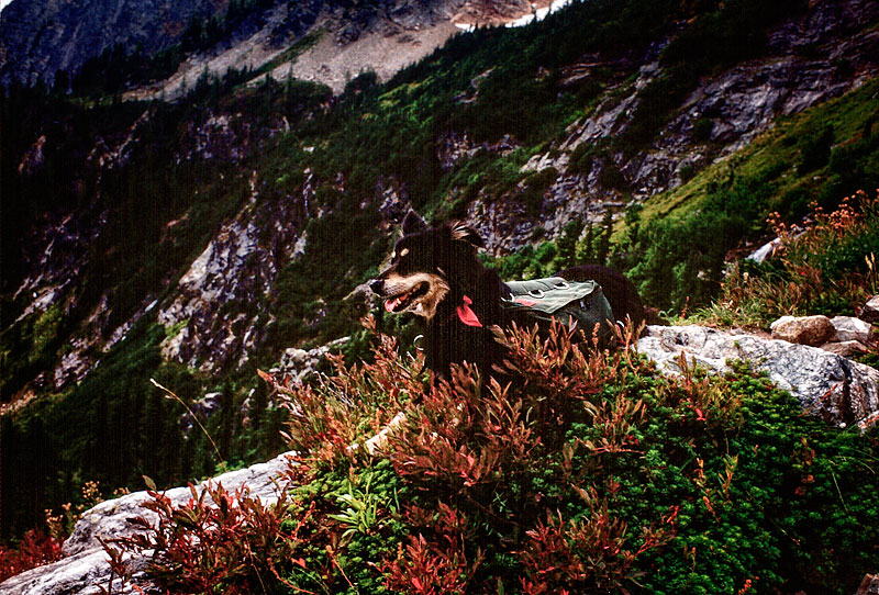
- 064_mica-box-crk-camp--copy-1
Mica guarding the camp
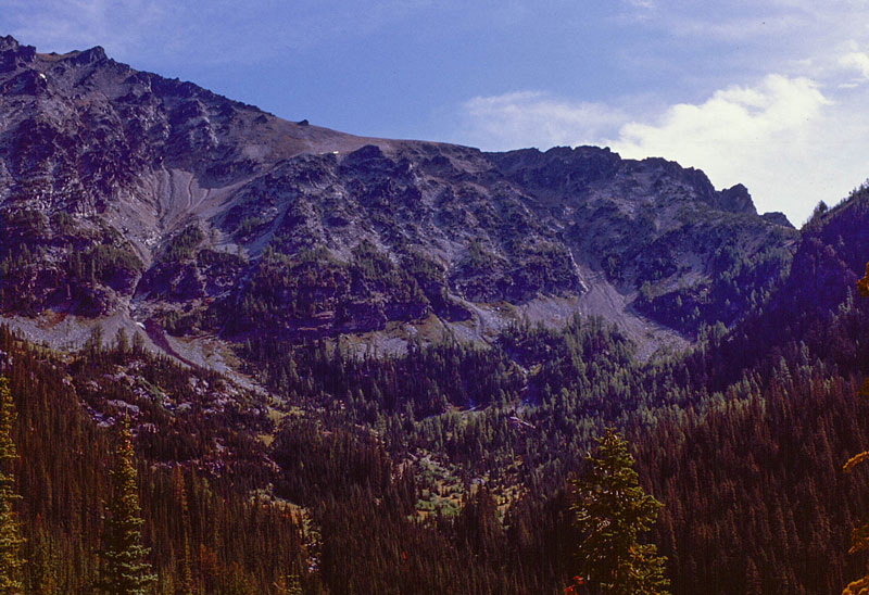
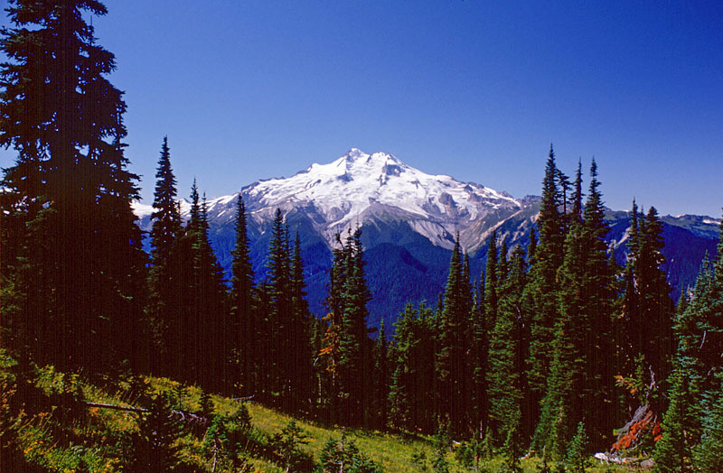
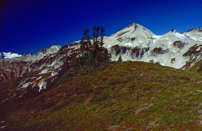
- 082_east-Mt-Maude
Mt. Maude
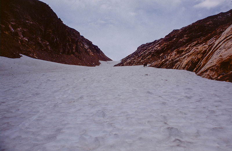
- 085_High-Route-CG-1
Carne Mtn. High Route
- 088_chris-mica-on-saddle-highroute
Carne Mtn. High Route
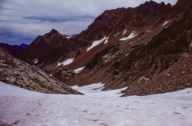
- 093_highroute-1
Carne Mtn. High Route
- 094_highroute
Carne Mtn. High Route
- 098-highroute
Carne Mtn. High Route
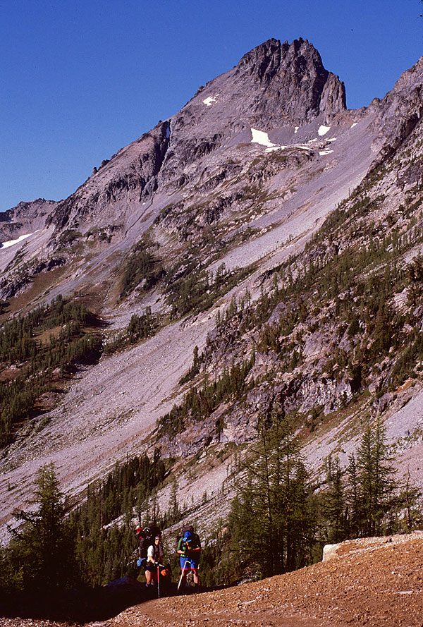
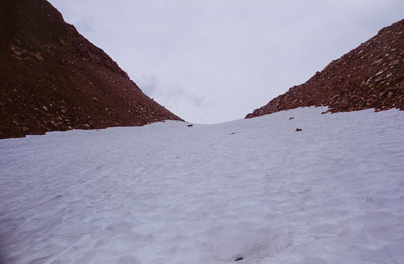
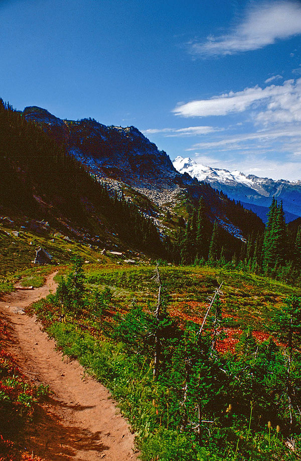
- 105-highroute-1
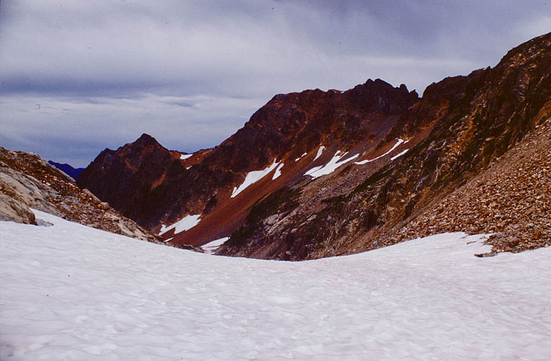
Steep climbs are common on the Carne Mtn. High Route
- 110_highroute-1
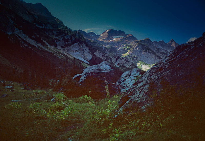
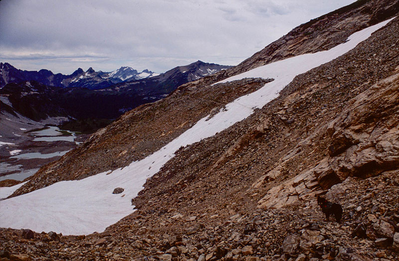
Carne Mtn. High Route saddle. Leroy basin on the other side.
- 111_highroute-1
Looking back from that same saddle. That notch in the right upper corner is where we came from!
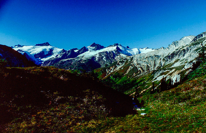
- 115_leroy-creek-basin-1
Leroy Creek Basin
- 119-leroy-creek-basin-1
Leroy Creek Basin
- 121_schmoo-Garriel-leroy-creek-basin-1
Leroy Creek Basin
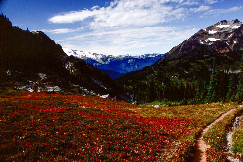
- 130_leroy-creek-basin
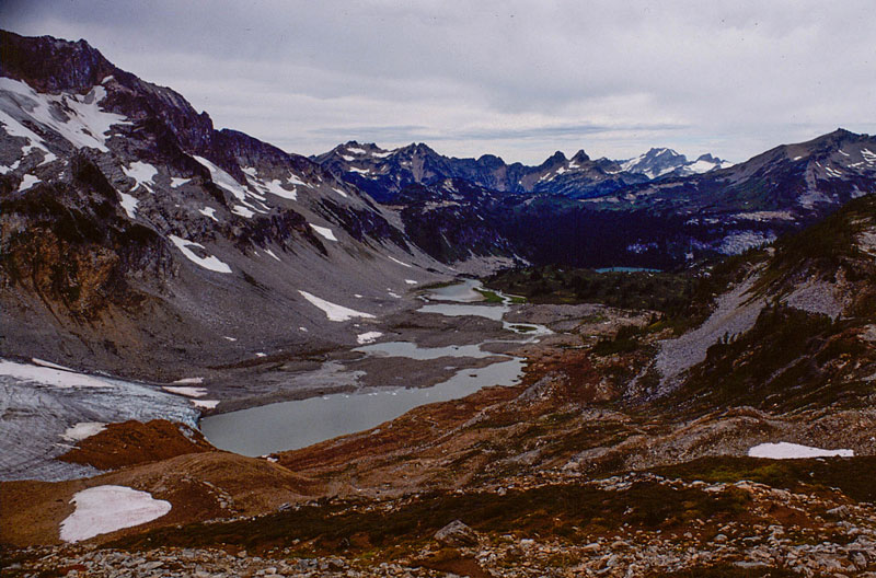
Leroy Creek Basin. Seven Fingers and Mt. Maude in the distance.
- 133_leroy-creek-basin-camp-1
Leroy Creek Basin camp
- 139-leroy-creek-on-way-down-1
Leroy Creek on the way down to the flats
- 140-down-on-phelps-crk-trail
Phelps Creek Trail
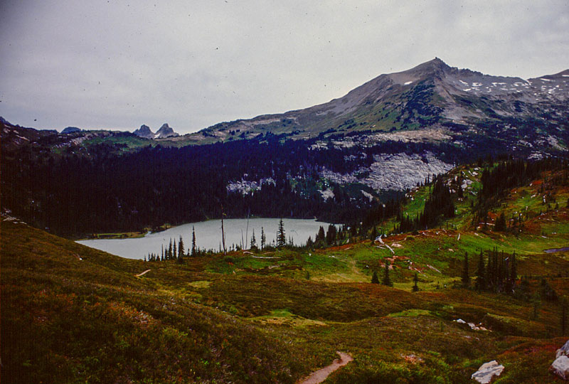
- 145-spider-mdw
Spider Meadows
- 146-spider-mdws-001
Spider Meadows
- 147-spider-mdws-002
Spider Meadows
- 148-spider-mdws-003-copy-1
Spider Meadows
- 153-looking-at-spider-gap-route
Spider Meadows. My route goes up that headwall in the center, then around the left to Spider Gap.
- 158_mica-leaving-spider-meadow
Mica and I leaving Spider Meadows camp. Looking back at wooded camp area.
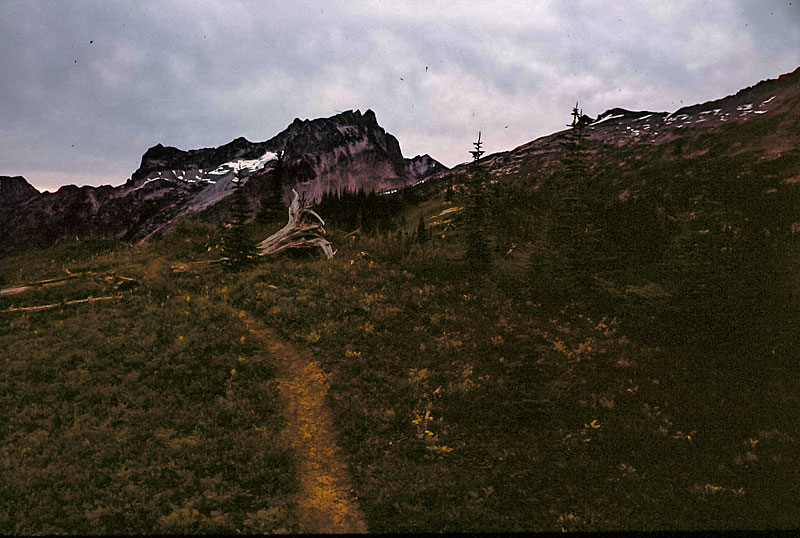
- 159_trail-sign-1
Another trail sign.
- 161_looking-back-down-at-spider-meadows
Getting ready to start climbing the headwall. Looking back down Spider Meadows.
- 162-heading-up-to-spider-gap-1
Approaching the entrance to Spider Gap.
- 164_mica-on-spider-gap-route
Mica Eiger
- 165_mica-on-spider-gap-route-1
Entering Spider Gap
- 166_mica-on-spider-gap-route-1
Climbing Spider Gap 'glacier'
- 167_looking-back-down-spider-gap-route-copy-1
Halfway up; looking back down.
- 168_mica-on-spider-gap-route-1
Resuming climb up Spider Gap
- 169_atop-spider-gap-1
Spider Gap summit
- 170_false-trail-to-mine-1
The false mine trail leading north from Spider Gap
- 172_upr-lyman-lakes-from-false-trail
Lyman lakes from false mine trail
- 174_glacier-terminating-in-upr-lyman-lake
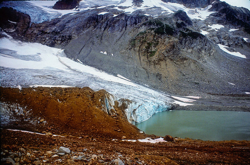
Down off the treacherous stuff
- 176_glacier-terminating-in-upr-lyman-lake-copy-1
Glacier terminus
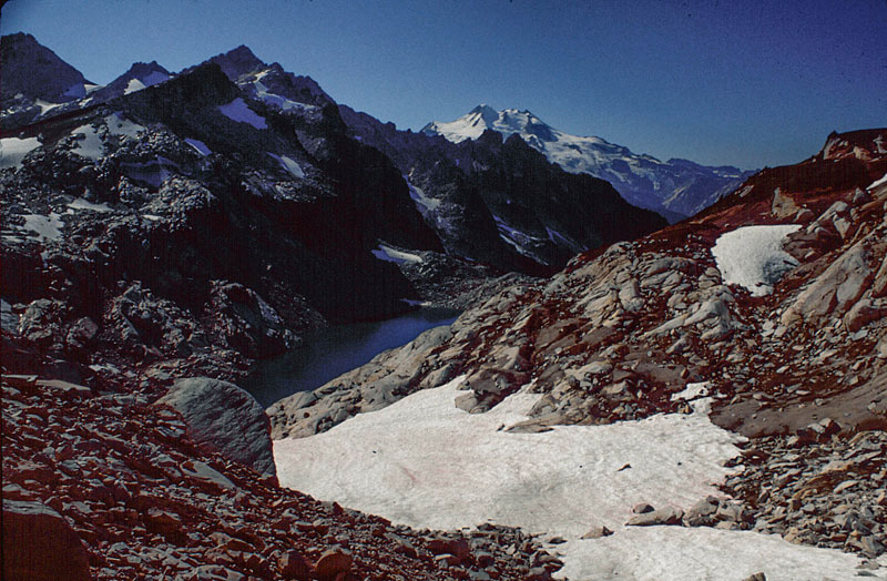
- 177_looking-back-at-spider-gap-1
Upper Lyman Lakes basin, looking back at Spider Gap, left-center in distance.
- 180-north-star-mtn-from-bench-between-lyman-lakes
Heather bench between upper and lower lakes
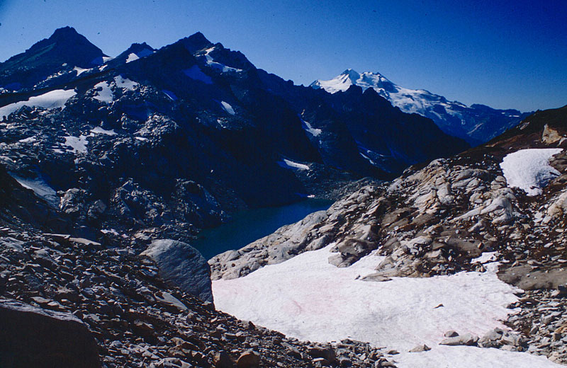
- 181_lwr-lk-lyman-and-cloudy-pass-1
Lower Lyman Lake
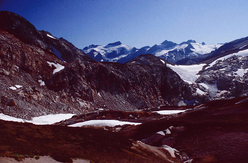
- 182_bonanza-peak
Bonanza Peak
- 183_looking-towards-railroad-creek-1
Headed towards Railroad creek, the outlet stream from Lyman Lake
- 184_log-bridge-over-railroad-creek
Railroad Creek crossing
- 200_hiker-coming-down-from-cloudy-pass
Headed up to Cloudy Pass
- 201_heading-up-to-cloudy-pass
Near Cloudy Pass and looking back down
- 203_lyman-lakes-spider-gap-from-cloudy-pass
Lyman Lakes, Spider Gap from Cloudy Pass
- 205_glacier-peak-from-cloudy-pass
Heading towards Suiattle Pass. Glacier Peakpeaking around the corner.
- 206_suiattle-pass-from-cloudy-pass-trail-1
Woody Suiattle Pass in the distance.
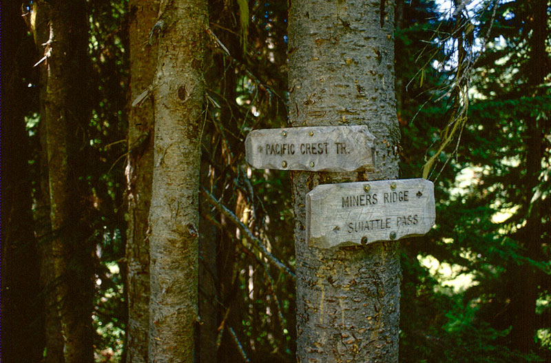
- 207_trail-sign-1
Another trail sign.
- 208_looking-west-down-suiattle-river-valley-1
West, down the Suiattle River valley
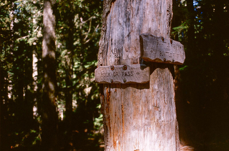
- 211_glacier-peak-from-suiattle-pass-descent
Another trail sign.
- 217_buck-creek-pass-sign-1
Another trail sign.
- 219_kidney-stone-camp-1
Kidney Stone Camp
- 221_mica-buck-creek-pass-trail
Mica on trail up to Buck Creek Pass
- 222_plummer-mtn-from-buck-creek-pass-trail
Looking back across Suiattle River valley to Plummer Mtn.
- 227_glacier-pk
Glacier Peak from near Flower Dome
- 228_high-pass-trail-buck-creek-valley
The High Pass trail, high above Phelps Creek
- 229_glacier-pk-from-end-of-high-pass-trail-1
Glacier Peak from the end of the High Pass trail.
- 230-triad-lake-1
Triad Lake from the end of the High Pass trail.
- 231_triad-lk-from-high-pass-route
Triad Lake from the High Pass climber's route
- 232_ten-peak-mtn-from-high-pass-route-1
High Pass in the distance, with the Ten Peak range still further behind it
- 233_mt-baker-in-distance
That's Mt. Baker waaaay off in the distance!
- 234_high-pass-ten-peak-mtn
High Pass basin and Ten Peak range
- 235_high-pass-heather-bench
High Pass heather bench
- 236_clark-mtn-napeequa-river-valley
The trail down into Napeequa Valley winds down that hillside off in the distant right
- 237-bill-and-greg-at-high-pass-1
Bill and Greg
- 238_greg-me-mica_ready-to-evacuate
Greg, me and Mica on the morning of my evacuation
- 239B_triad-lk-on-way-out-1
Triad Lake on the way out
- 240_high-pass-trail-from-buck-crk-trail
Looking back at the High Pass trail from Buck Creek Pass area
- 242_buck-mtn-and-mt-berge-from-buck-creek-trail
Buck Mtn. and Mt. Berge from the Buck Creek trail
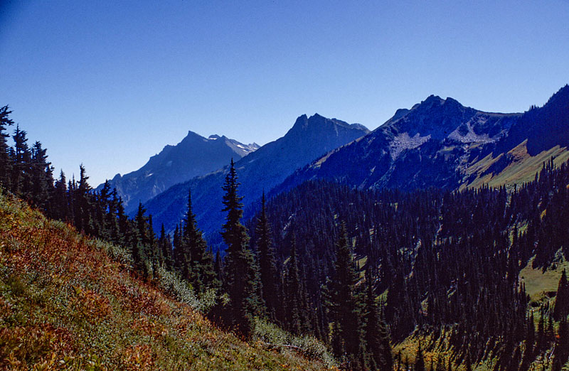
- 243_near-trinity
Near Trinity
- 244_trinity
Trinity
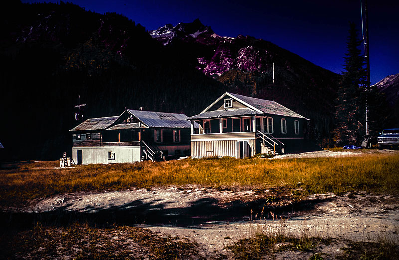
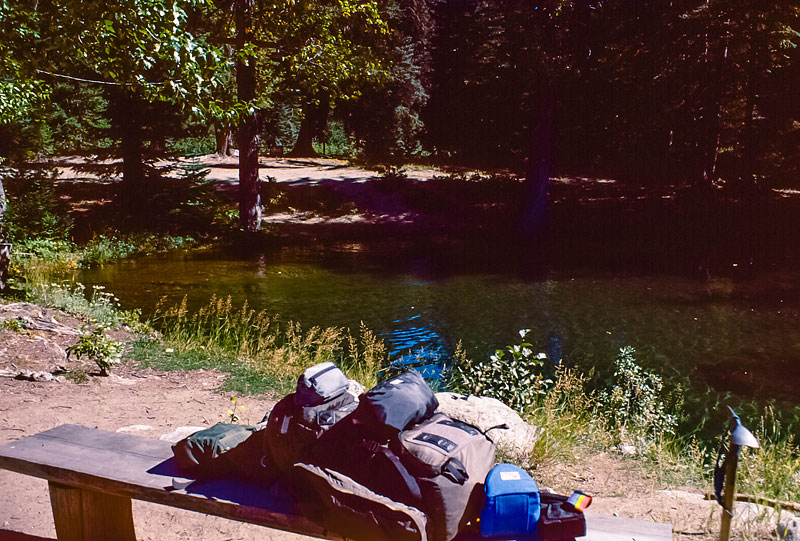
- 246_trinity-fish-pond-1
Trinity fish pond
- 247A_trinity-fish-pond
Trinity fish pond
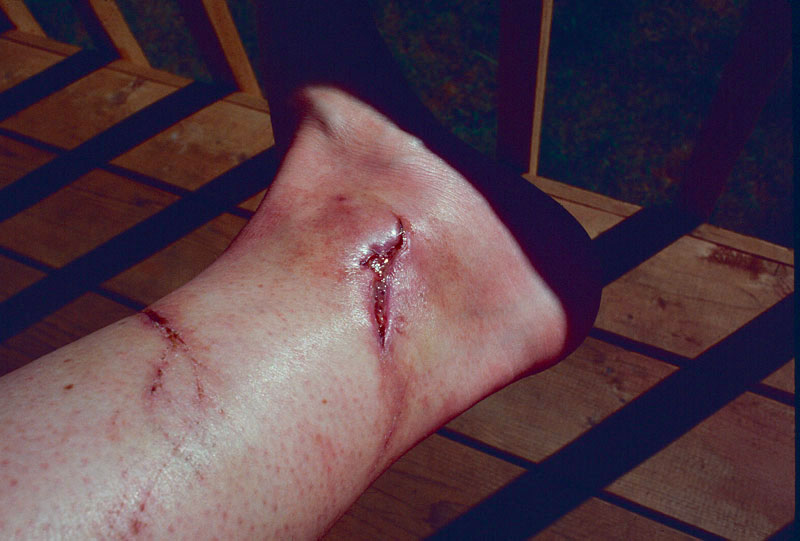
- 250_ankle-post-trip-1
What it looked like a few days after the hike